1
Top View
1677 readers
7 users here now
A place to share pictures taken from above, that reveal interesting views, fascinating places or different angles to places.
I have made a short video describing how I take the pictures that I share, here
This is not a rule! You are welcome to share any aerial picture you feel is worth sharing. I just thought that maybe some of you may need a little help. It's really addictive once you get started!
TOP POST
(updated manually)

founded 2 years ago
MODERATORS

2
3

7
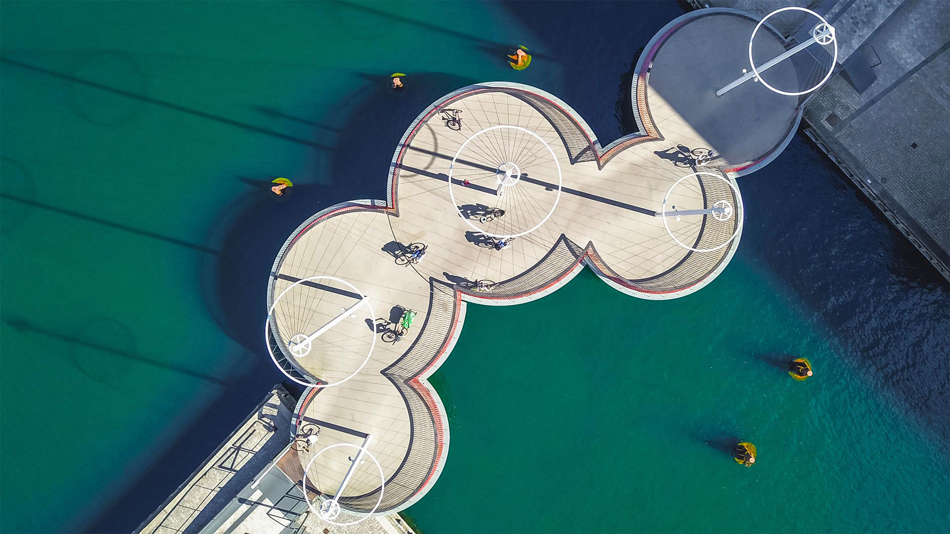
Cross-posted from "Top-down view of the Circle Bridge in Copenhagen, Denmark" by @PugJesus@lemmy.world in !inhabitedbeauty@lemmy.world
8
Also known as the Sea of Plastic, the greenhouses that now cover more than 40,000 hectares of the Spanish province of Almería are said to be easily visible from space. More info here.

9
10
11
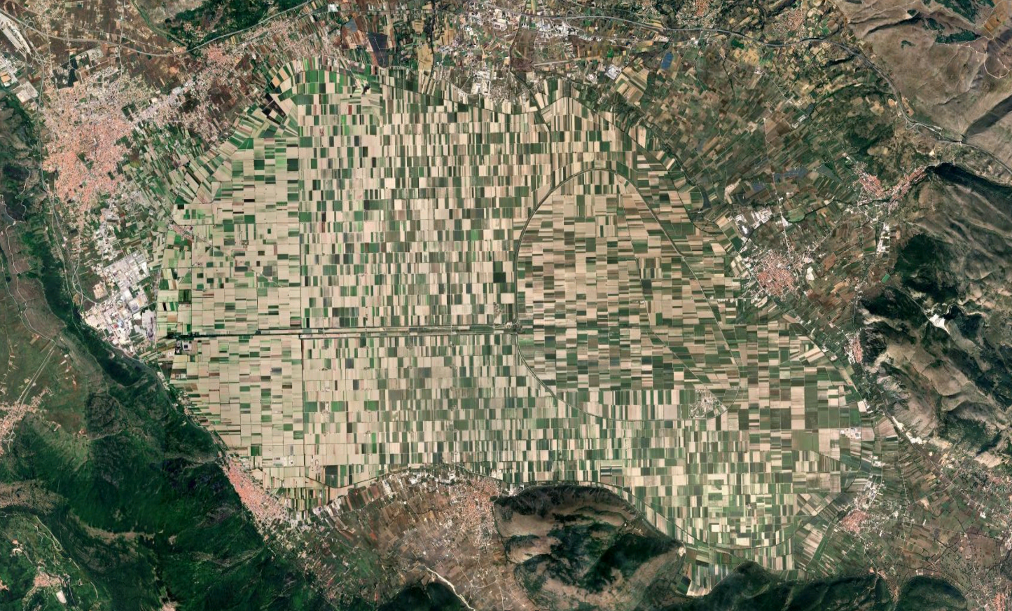
Now one of Italy's most fertile plains, this is the area formerly occupied by Lake Fucine until it was fully drained in 1878. More info here.
12
cross-posted from: https://lemmy.world/post/20337518
cross-posted from: https://lemmy.world/post/20334793
13
14
15
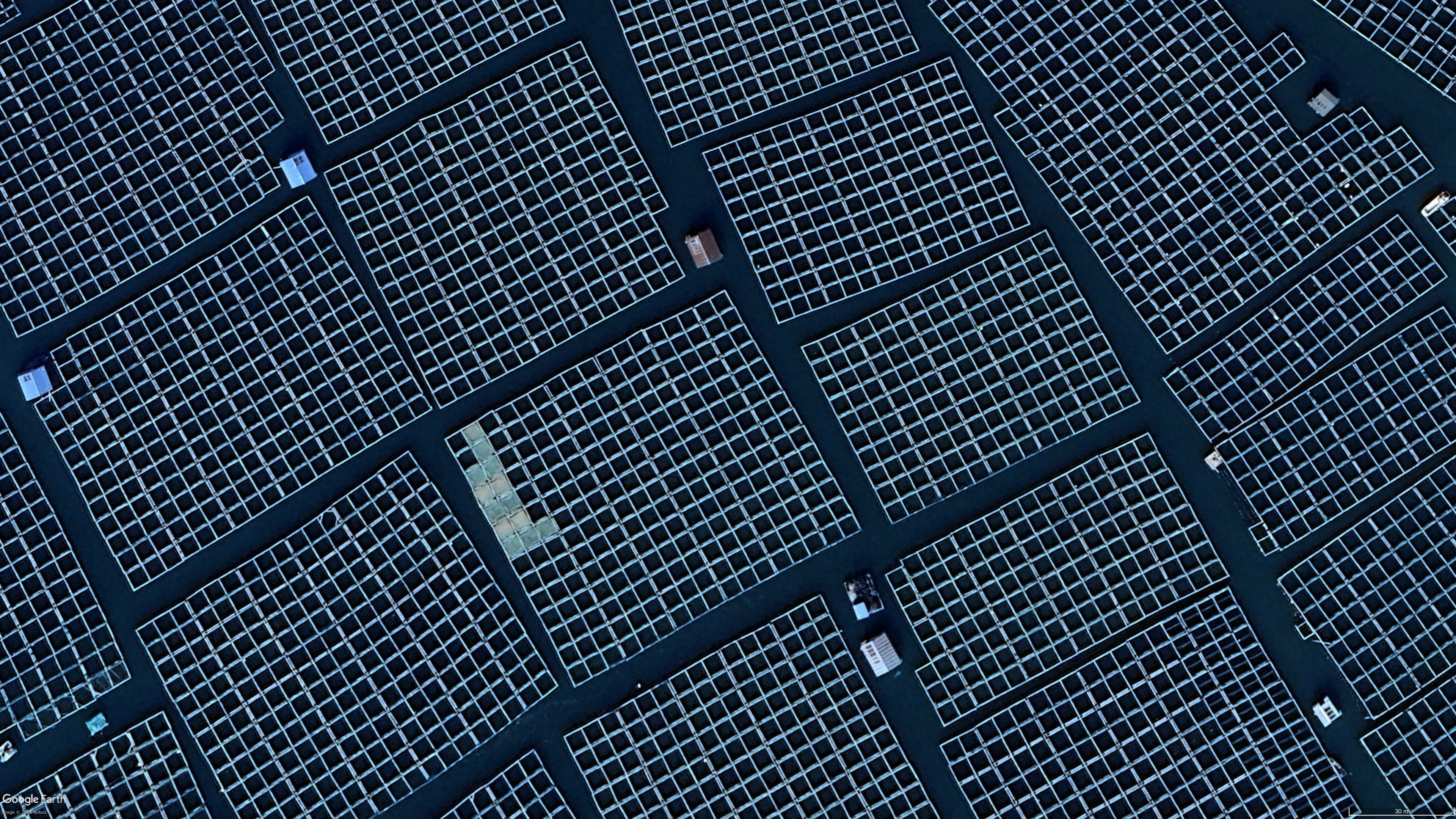
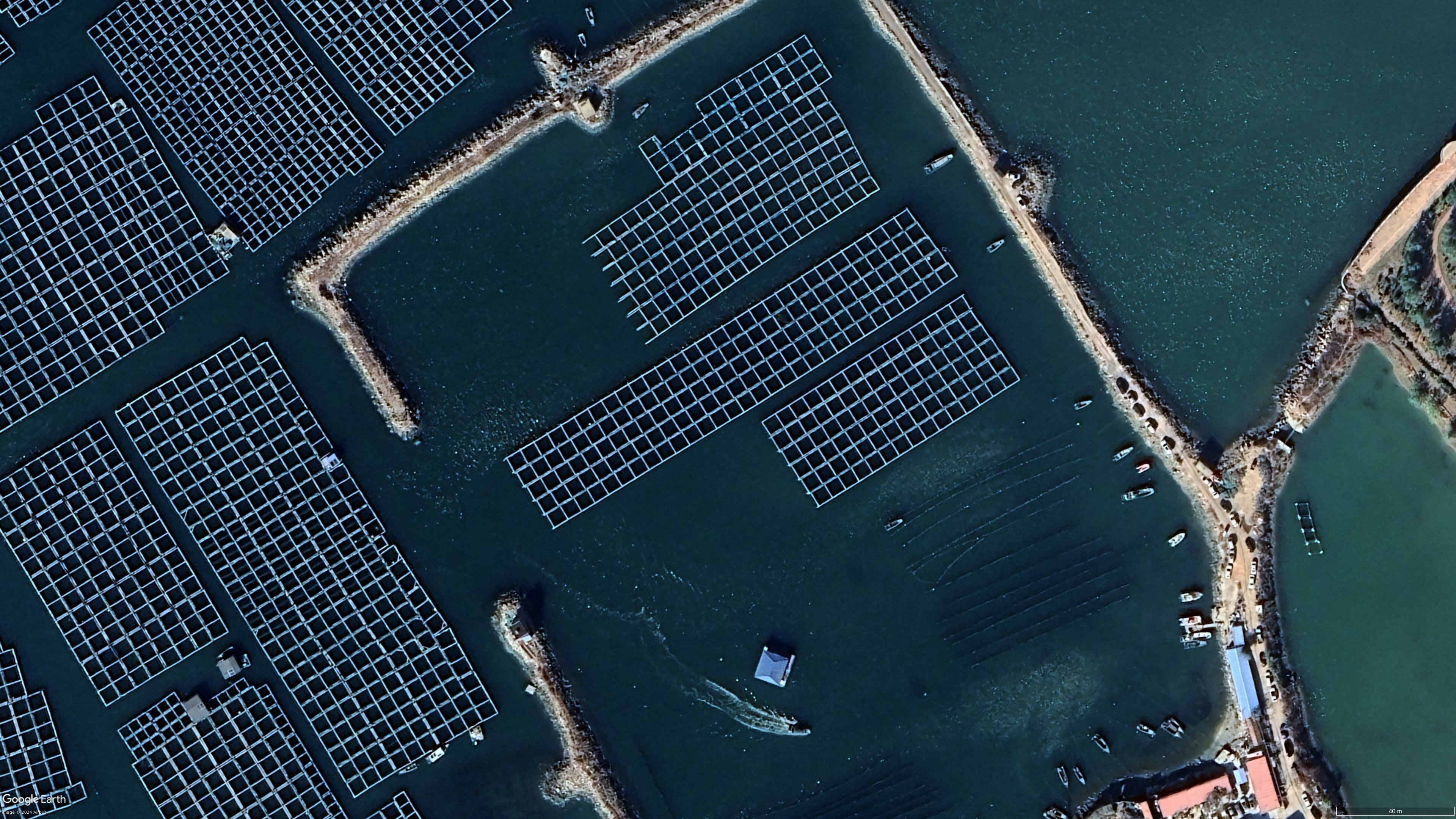
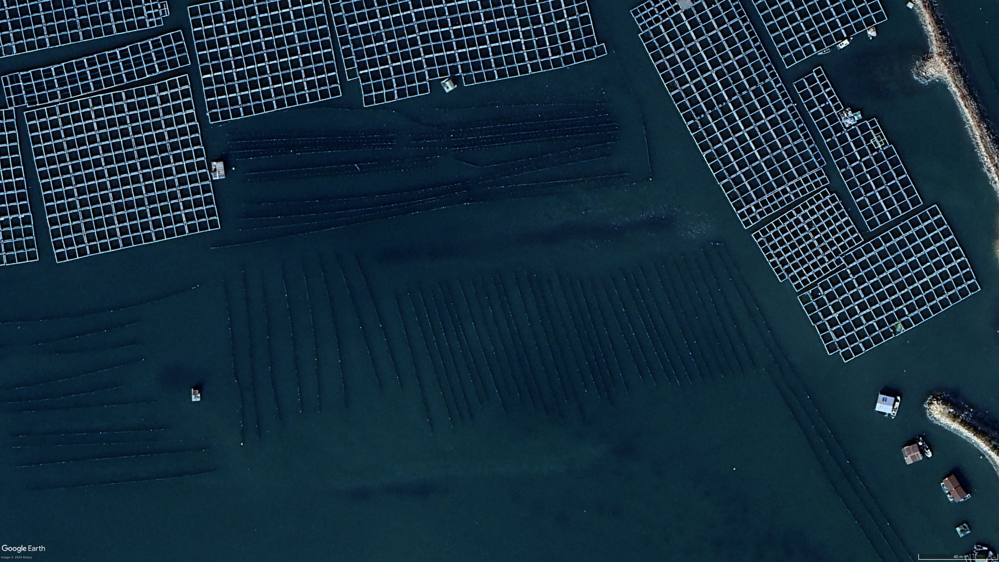
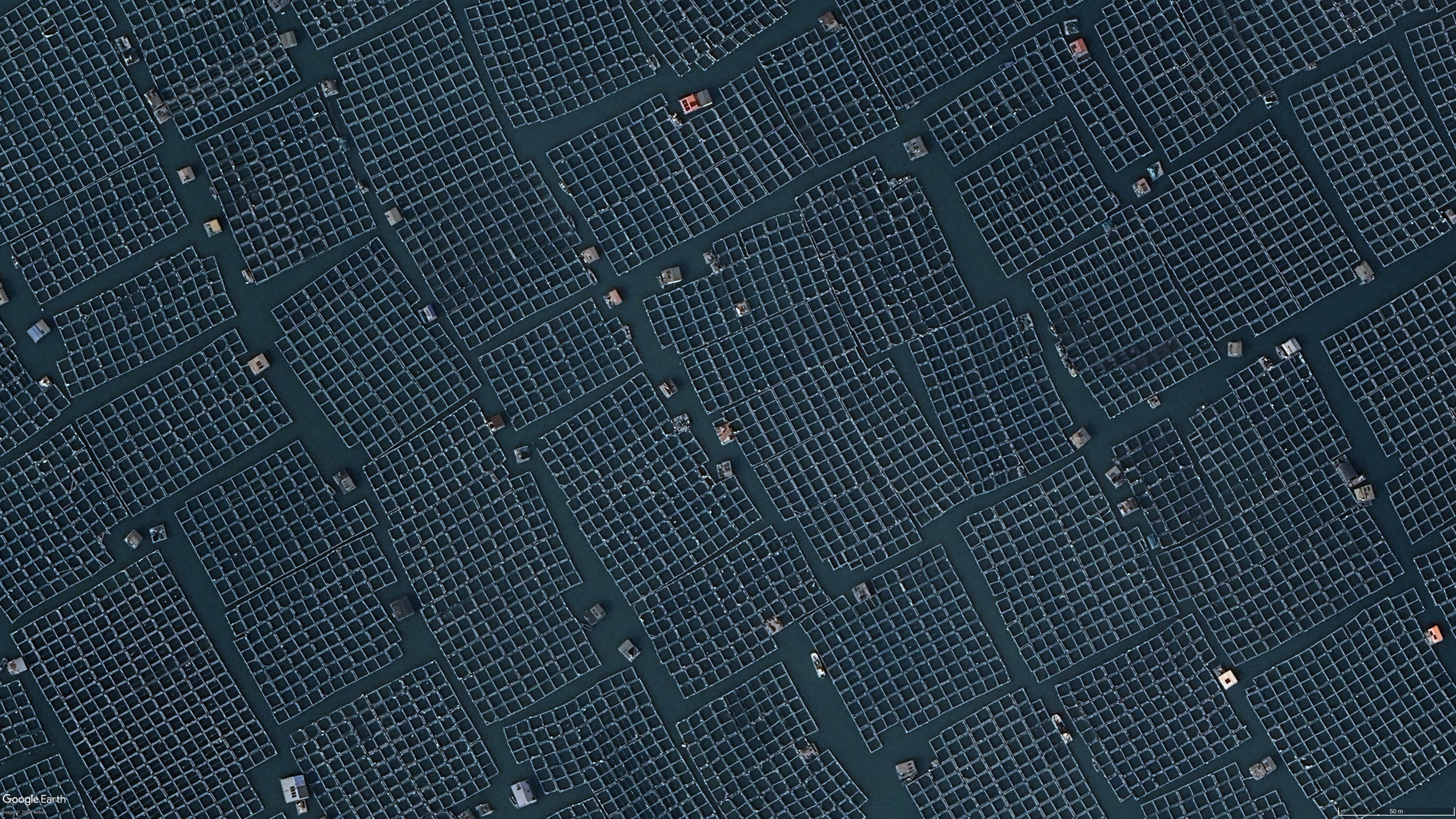
Not sure what these darker stripes are. They look like submerged timber og logs


18
20
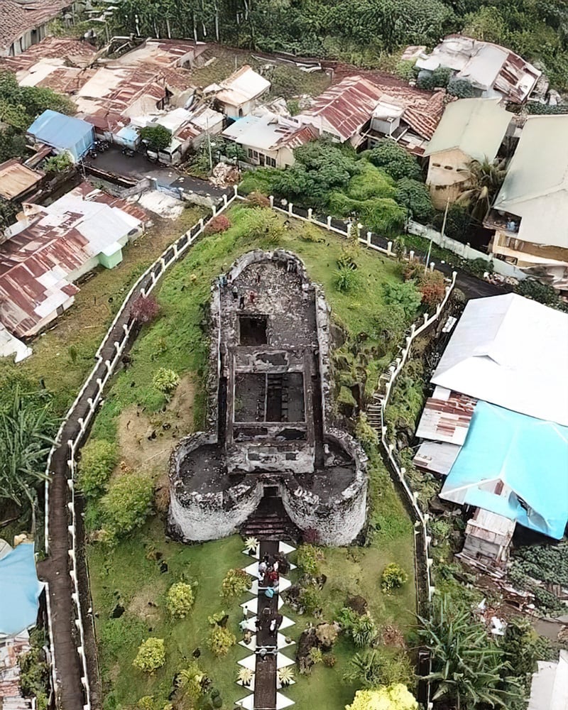
The former capital of the Caribbean island of Montserrat, a British overseas territory, has been fully abandoned since 1997 due to a series of eruptions at the Soufrière Hills volcano. More info here.
22
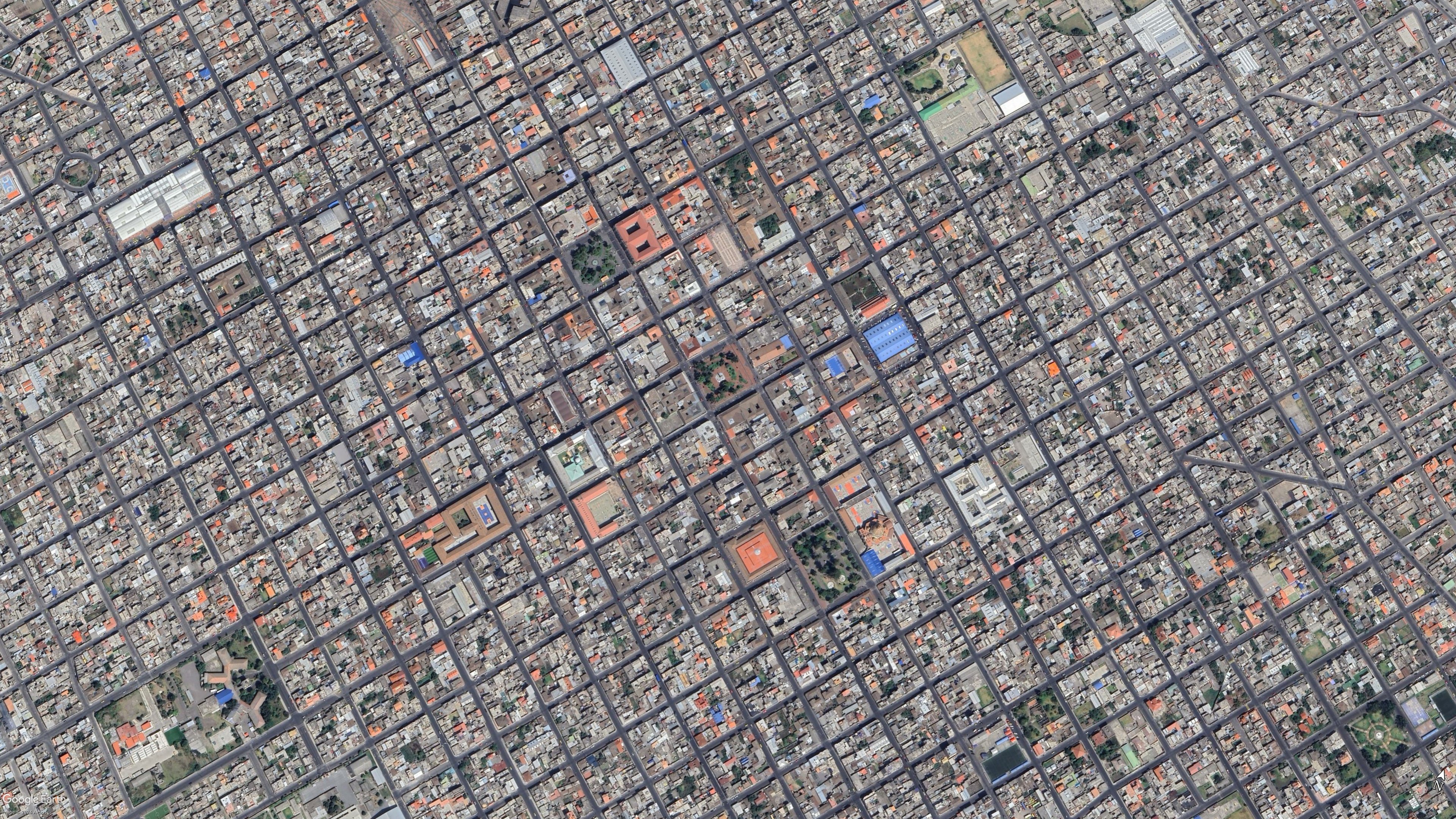
I was randomly browsing Google Earth and had drifted into Hungary when I noticed that many plots there, are elongated. They have a short front towards a road, where a house or structure usually is located, but then extend a pretty long way behind that!

23
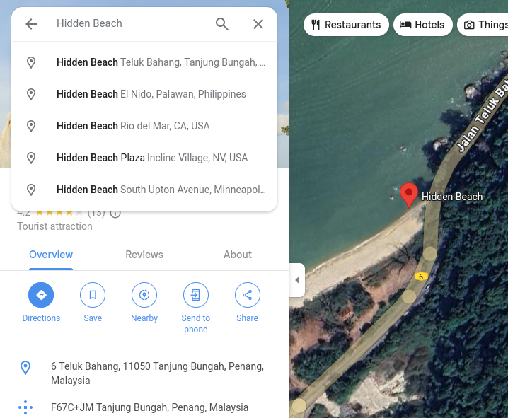
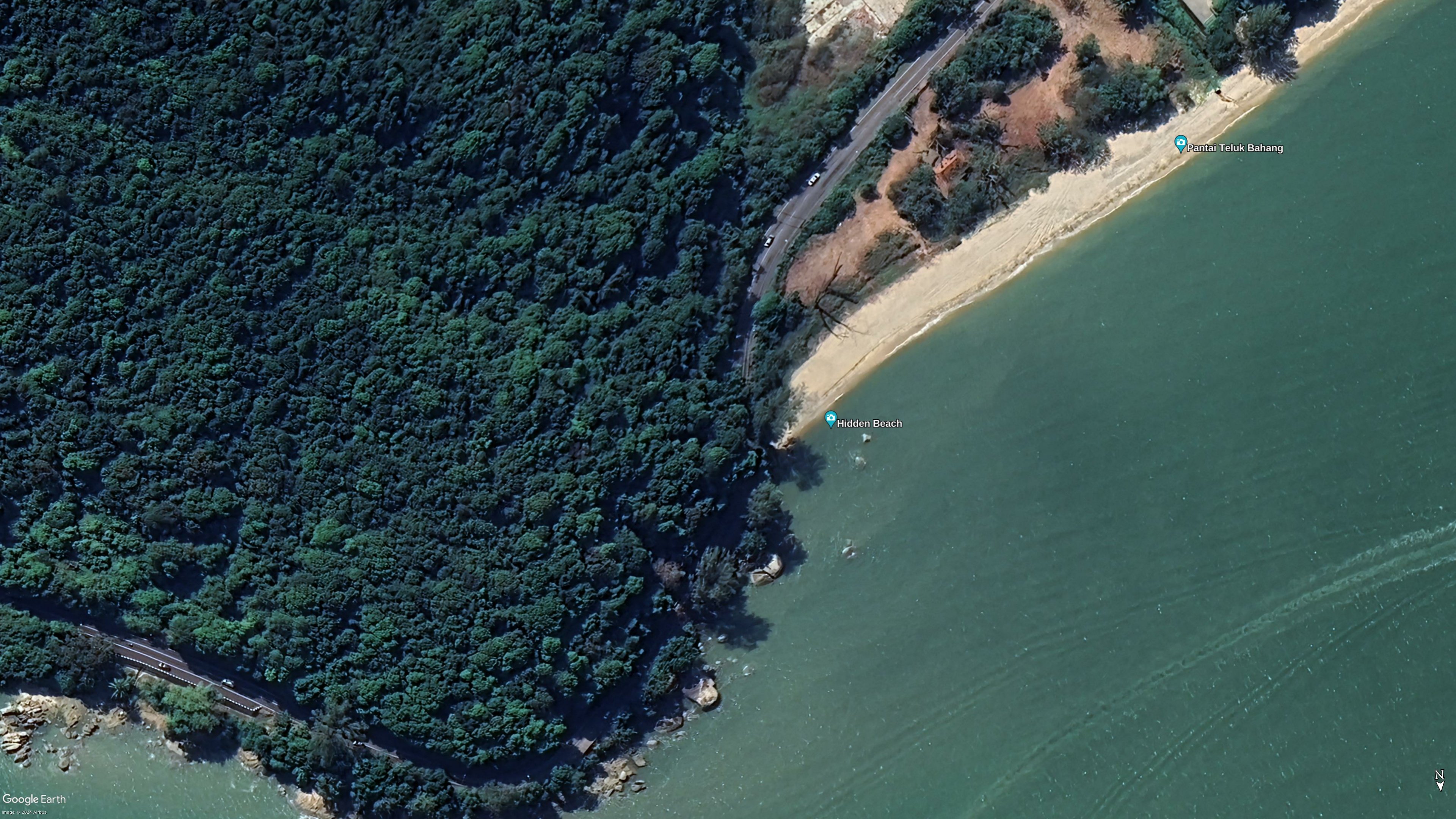
Hidden Beach is not quite so hidden - listed as a tourist attraction on google:
https://maps.app.goo.gl/2LvWzMa5iaYtYiS2A
Interestingly, google has the location of quite a lot of hidden beaches!
25
view more: next ›