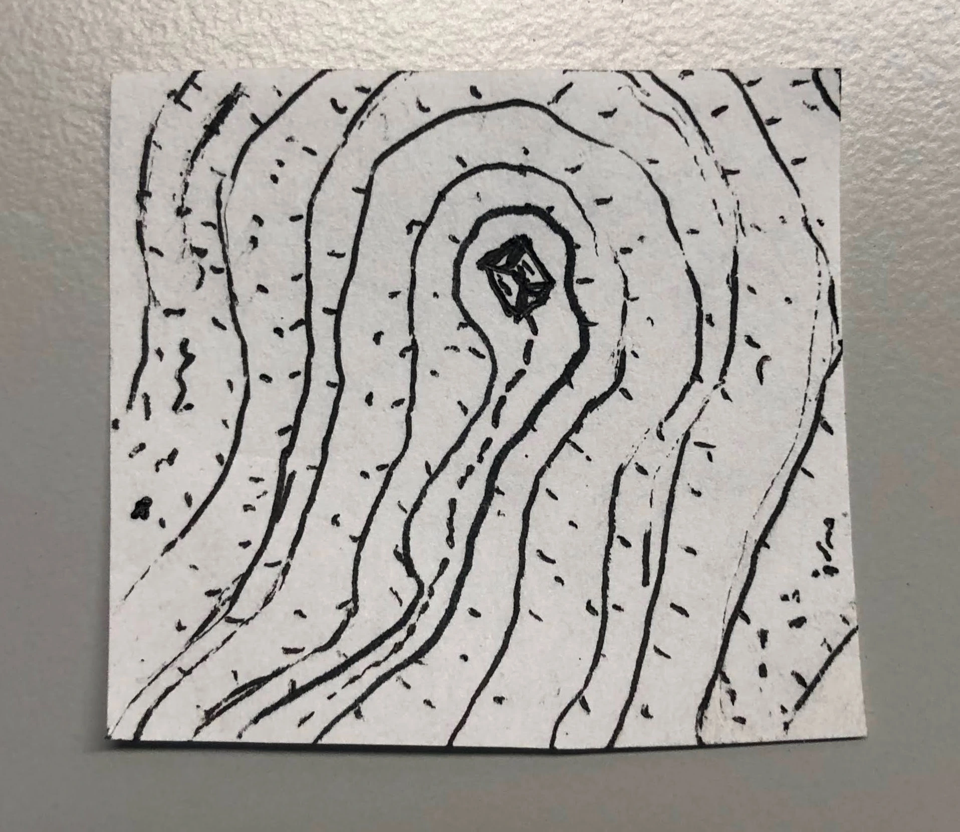
I've long thought that portraying elevation in top-down maps is extremely hard.
This is sort of a test.
You should give it a try too. It's fun!
No piracy or illegal content. Do not link to, request or encourage piracy or any other illegal content or activities.
Stay on-topic. This community is meant to share doodles and micro-maps.
Original content. Please only post your own work. Make sure you have permission from the original author otherwise.
Be civil. Be respectful. Do not incite flamewars, engage in personal attacks, or discriminate in any way.
Limit self-promotion. Ask the mods before posting links to your digital products, podcasts, livestreams, or crowdfunding campaigns.
I've long thought that portraying elevation in top-down maps is extremely hard.
This is sort of a test.
Yeah, shading would have helped.
I once read (or maybe watched a video?) saying that most cartographers shade as id the sun were in the upper left of the image. Of course, it’s an artist choice, so many more decide against it. :)
But even if you’re not an astronomy enthusiast, you can open up Google Maps and check out the satellite photo layer. Every now and then, you’ll come across a terrain feature that you can’t easily tell if it’s raised or depressed.