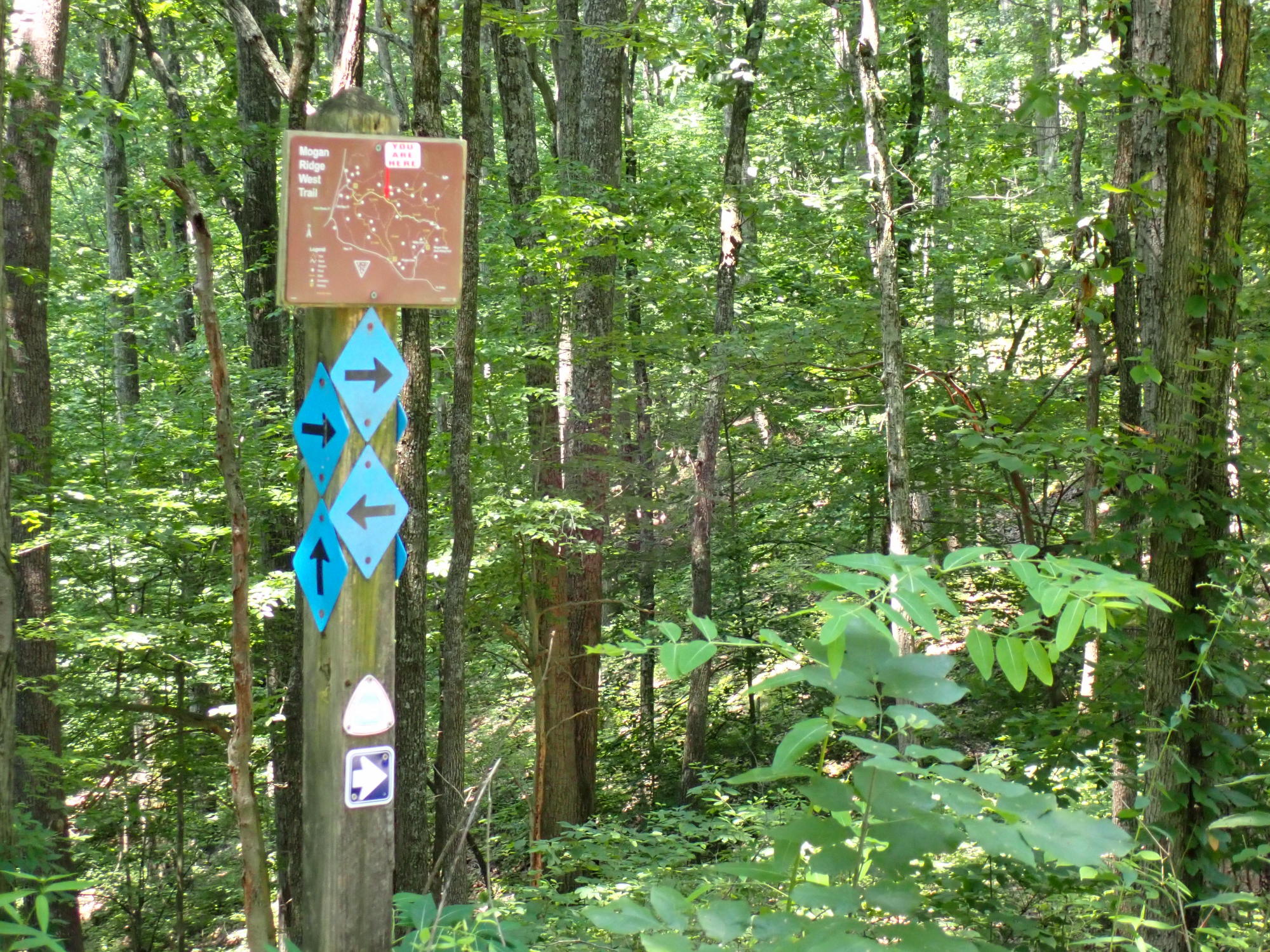
I spent the day yesterday wandering around some trails in the Shawnee National Forest (southern Illinois) from the Golden Circle trailhead to Pounds Hollow and back. I didn't keep super good track of my route, but it was something like (trail numbers): 1440 to 154 to 001 to 155 to 001 to 137A to 165 to 166 to 164 to 001 to 180 to 185 to 184 to 183 to 006, bushwhack to 134 to 006A to 006B to 109, roadwalk Karbers Ridge to 001 to 010A. Whew! The River to River Trail Society has some excellent brochures with georeferenced PDFs that cover trails in this area.
The weather was a bit sticky, but not too bad - high temps in the lower 80s. Between some recent rain and increased horse traffic for the summer, low spots in the trails are getting pretty torn up in places, particularly as you get closer to the various horse camps. Poison ivy is out in force, ticks are too so take reasonable precautions.
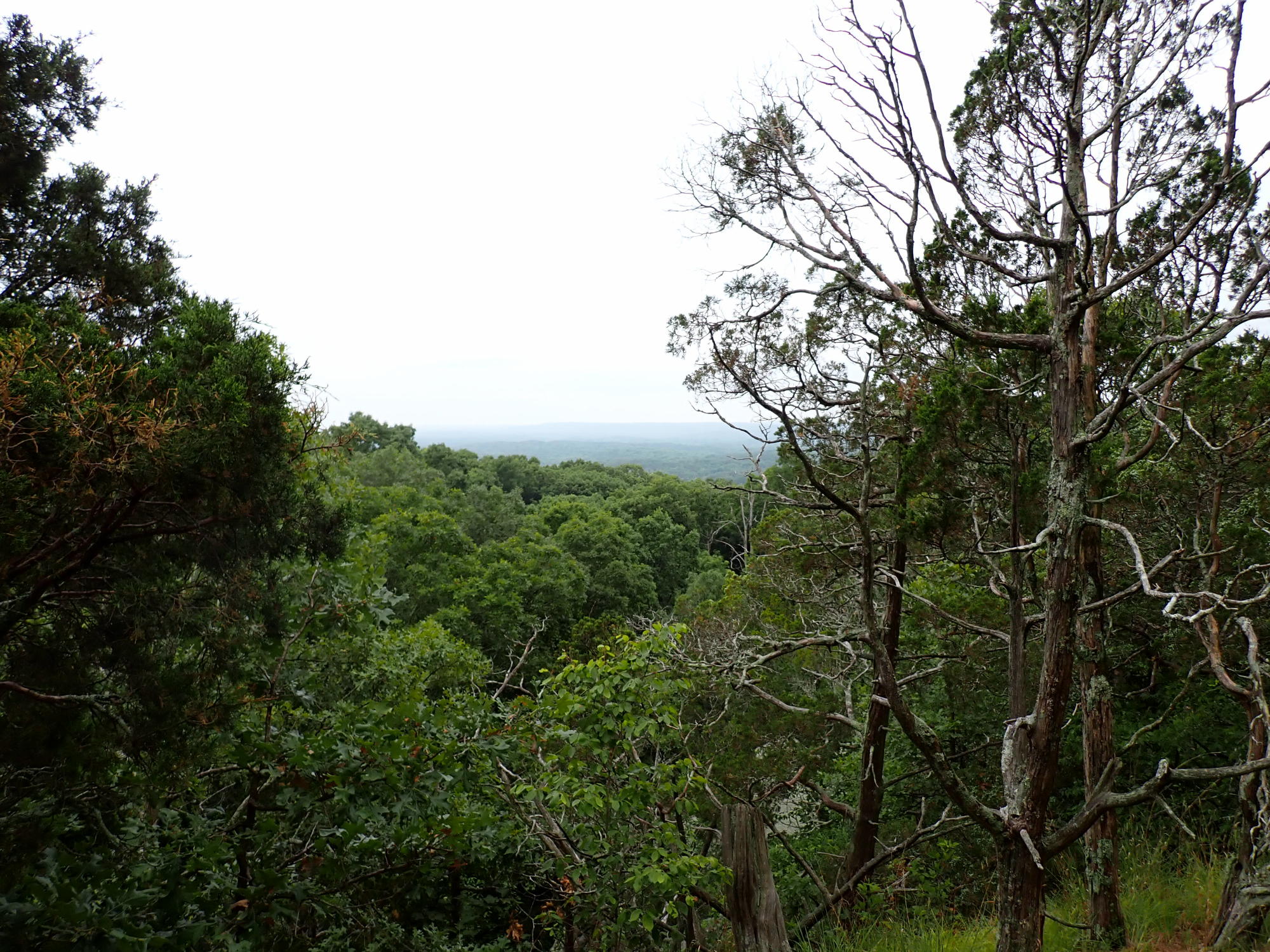
The area is a mix of pleasant forests, clifftop vistas, and streambeds (almost all dry at the moment). Pounds Hollow Lake is one of the ones in the area created by the CCC building a dam in the 1930s and has a reasonably popular swimming beach, as well as rest rooms and potable water.
I had planned to camp at Pounds Hollow, but I stupidly forgot to pack cash to pay for the $10 fee, so what was planned as a 20 mile day turned into a 29 miler when I took the most direct route back to the trailhead where I started. There are a couple of other good spots along that route back, but all the water sources were dry or stagnant, and I didn't have enough water along for dinner & breakfast so I said the heck with it and came home. All told, 29.2 miles in just a shade over 12 hours. The last 4 or so were pretty tough, but I made it.
[Image description: southern Illinois forested hills receding into the distance, framed by trees and viewed from the top of Buzzard Roost]
More pictures at imgur.