this post was submitted on 22 Aug 2024
949 points (99.6% liked)
aww
26634 readers
255 users here now
A place with minimal rules for stuff that makes you go awww! Feel free to post pics, gifs, or videos of cats, dogs, babies, or anything cute and remember to be kind to others.
AI posts must be labeled [AI] in the title and are limited to one per week.
While posting and commenting in this community, you must abide by instance-wide rules: https://mastodon.world/about
- No racism or bigotry.
- Be civil: disagreements happen, but thatdoes not provide the right to personally insult others.
- No SPAM posting.
- No trolling of others.
founded 2 years ago
MODERATORS
you are viewing a single comment's thread
view the rest of the comments
view the rest of the comments
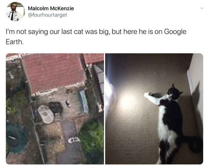
Google Earth photos are mostly taken from low-altitude planes.
Huh that makes a lot more sense actually. Not sure why I never realized that.
I did wonder how they could afford so many satellites.
Satellite imagery seems cheaper than you might think though. I've had SkyFi in my favourites for a while after they sponsored a YouTube video, and they seem to start at $8 per km^2^ for a new photo or $2.50 for a previously taken one.